Click on the dates and images for further information.
- 1664–1667
- 1838–1845
- 1863–1934
- 1880
- 1887
- 1889
- 1891
- 1892
- 1896
- 1896
- 1896
- 1897
- ca. 1900
- 1914
- 1932
- 1936
- 1938
- 1945
- 1949
- 1950/51
- 1957
- 1959
- 1963
- 1963
- 1965
- 1967
- 1967
- 1968
- 1968
- ca. 1968
- 1969
- 1969
- 1970
- 1972
- 1975
- 1980
- 1980
- 1981
- 1982
- 1988
- 1989
- 1992
- 1992/93
- 1995
- 1996
- 1997
- 1997
- 2001
- 2002
- 2002
- ca. 2004
- 2014
-
Great Land Board of the Canton of Zurich
Hans Conrad Gyger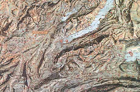
-
Carte de la Principauté de Neuchâtel
Jean-Frédéric d'Ostervald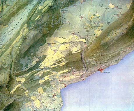
-
Swiss Alpine Club Maps
-
Carte physique et géographique de la France
Rudolf Leuzinger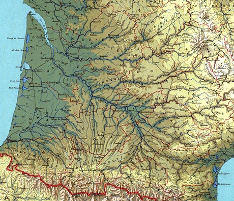
-
Reliefkarte der Centralschweiz
Xaver Imfeld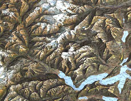
-
Canton Glarus
Fridolin Becker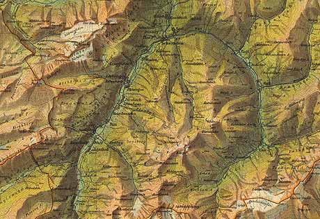
-
Evolena-Zermatt-Monte Rosa
Hermann Kümmerly, Rudolf Leuzinger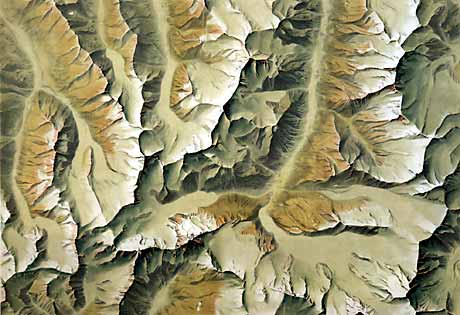
-
Albulagebiet
Gebrüder Kümmerly, Rudolf Leuzinger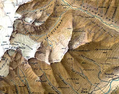
-
La Chaine du Mont Blanc
Xaver Imfeld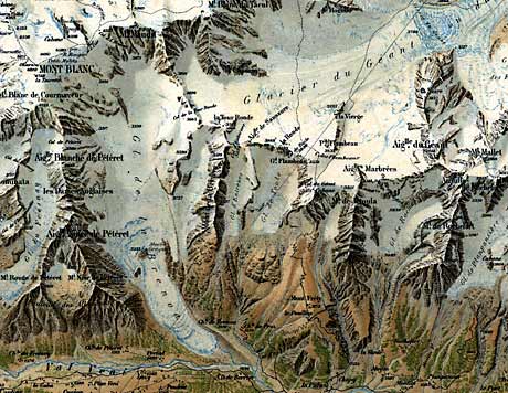
-
Schulwandkarte der Schweiz
Hermann Kümmerly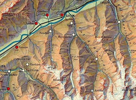
-
Specimen für die Wandkarte der Schweiz
Fridolin Becker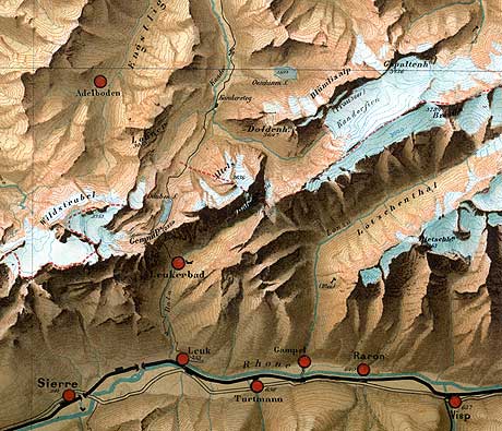
-
Wargame Map
Andreas Hefti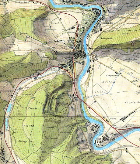
-
Rigi
Fridolin Becker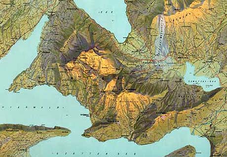
-
Panoramic View of the Yosemite National Park, California
John H. Renshawe, USGS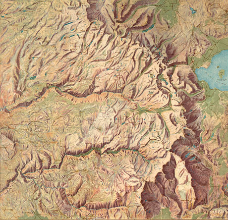
-
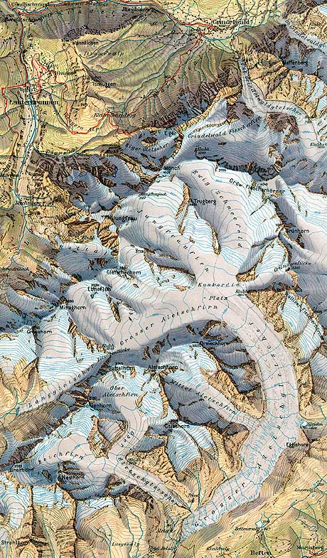
Jungfraugruppe und Aletschgletscher
Eduard Imhof
-
St.Moritz, Oberengadin and Bernina
Kümmerly+Frey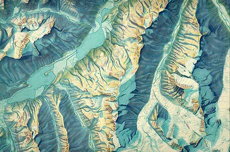
-
Walensee
Eduard Imhof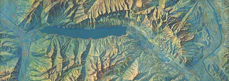
-
Aargau
Eduard Imhof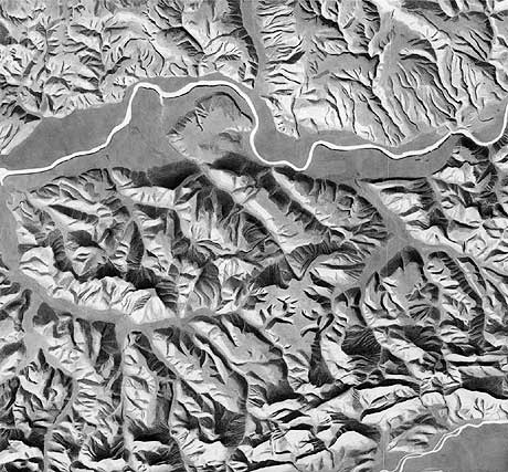
-
Yosemite Valley
USGS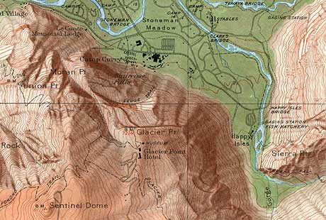
-
Schaffhausen
Eduard Imhof, Ernst Spiess, Heinz Leuzinger, Bruno Speiser
-
Republica de Venezuela
Shell Oil Company with Kümmerly+Frey, Heinz Leuzinger
-
Canton de Genève
Kümmerly+Frey, Heinz Leuzinger
-
Canton of Grisons
Eduard Imhof, Heinz Leuzinger
-
Die Welt ist bunt
Falk Verlag, Fritz Hölzel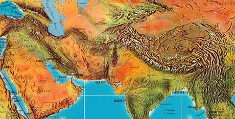
-
Panta
Swiss Foundation for Alpine Research, Ernst Spiess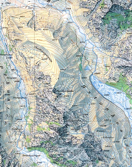
-
Peloponnese
Jacques Bertin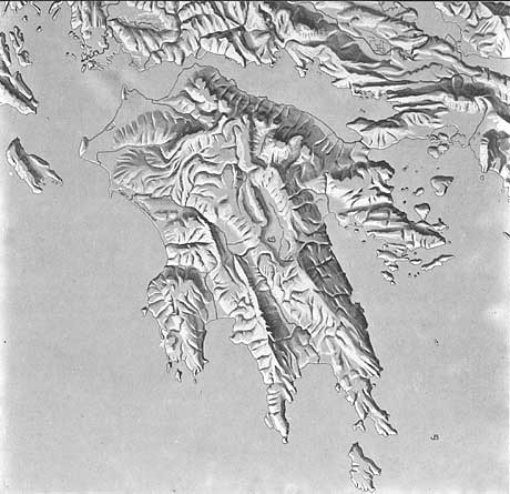
-
Bardai
National Academy for Civil Engineering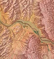
-
Mount Kennedy
Tibor Tóth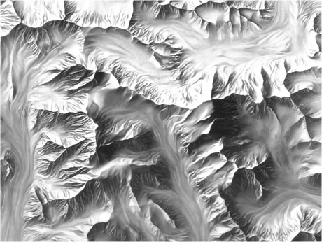
-
Moon relief
Tibor Tóth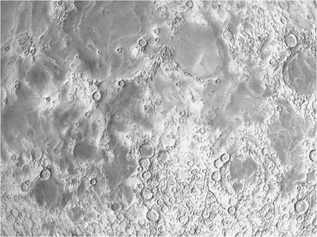
-
New Europe
Hal Shelton
-
Basel-Stadt und Baselland
Eduard Imhof
-
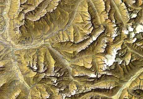
Alpen: Nördliche Flysch- und Kalkalpen
G. Neugebauer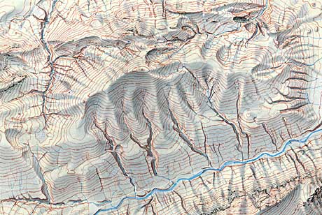
-
Die Schweiz zur letzten Eiszeit
Heinz Leuzinger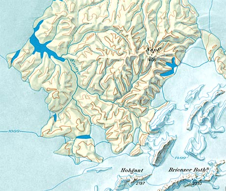
-
Ocean Floor Around Antarctica
Heinrich C. Berann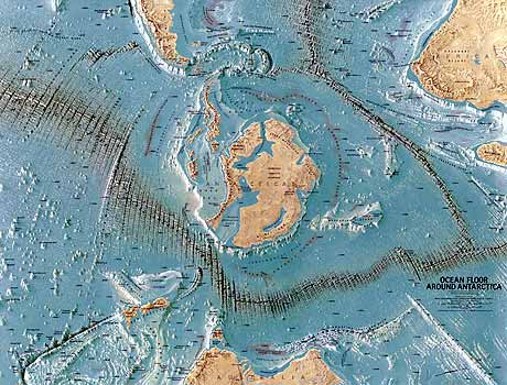
-
Wesertal bei Bodenwerder
Fritz Hölzel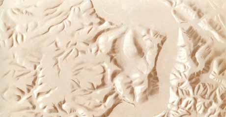
-
Ta'u Island, American Samoa
Michael Wood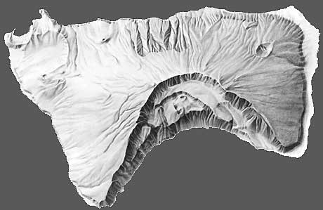
-
Tutuila Island, American Samoa
Michael Wood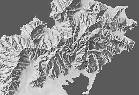
-
Delta du Nil et Can. de Suez
Hermann Leubner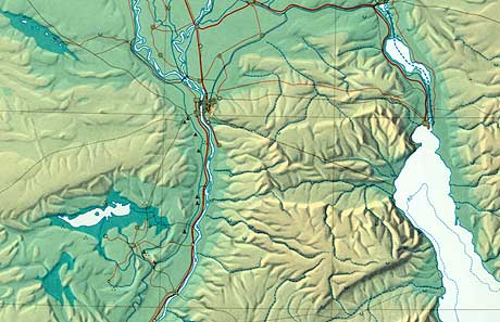
-
Relief de la Suisse
Eduard Imhof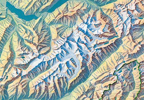
-
Mount Everest
National Geographic Society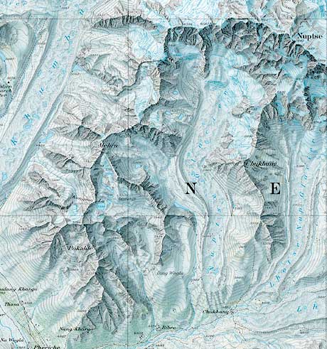
-
Europe
Heinrich C. Berann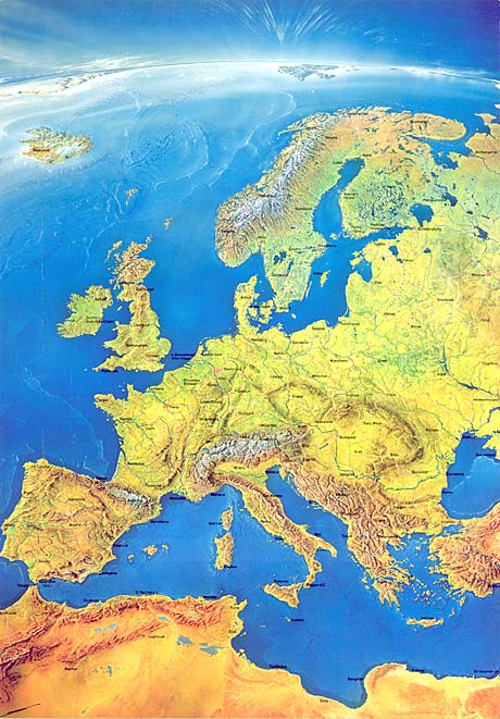
-
Neapel und Vesuv
Schweizer Weltatlas, Ernst Spiess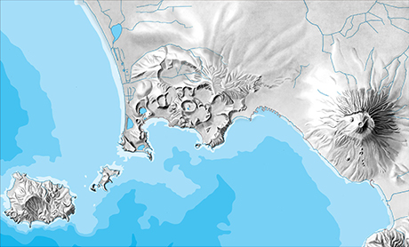
-
Carte du relief des Alpes
Paul Ehrlich, swisstopo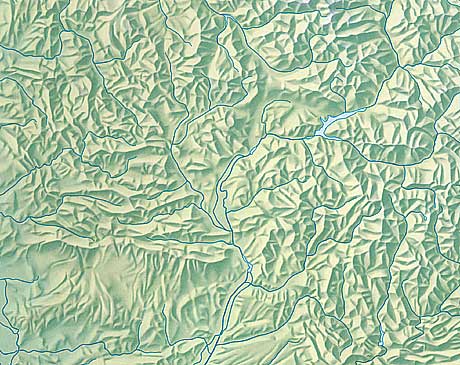
-
Alpnach
Rudolf Morf, swisstopo
-
Pik Lenin
Markus Hauser
-
Nildelta, Suezkanal, Jordangraben
Schweizer Weltatlas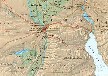
-
Ocean floor relief
Schweizer Weltatlas, Regula Spiess
-
Kenai Fjords National Park
Tom Patterson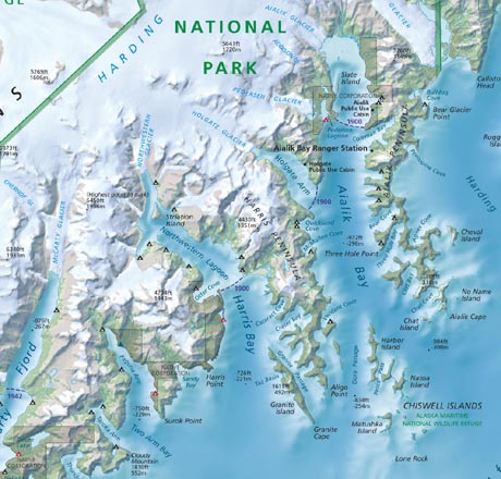
-
Macedonia
State Statistical Office of the Republic of Macedonia, Swiss Federal Statistical Office; Stefan Räber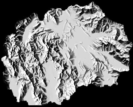
-
Grand Teton
Tom Patterson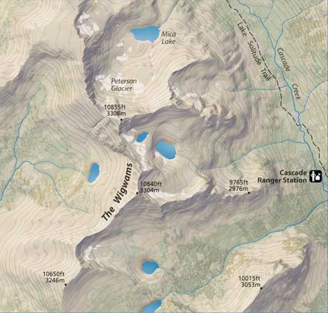
-
Nisyros, Greece
Geowarn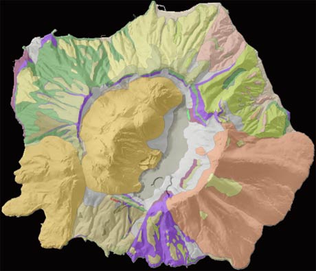
-
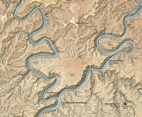
The Heart of Canyonlands National Park
Tom Patterson